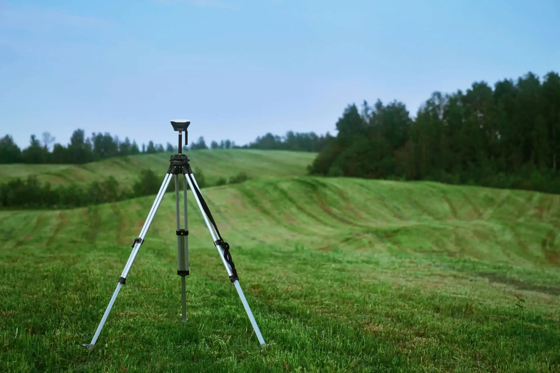
LiDAR and Photogrammetric Post-Processing Services
CloudMapper specializes in precision LiDAR and photogrammetric processing, turning your fieldwork data into accurate, detailed models and maps. We handle the technical heavy lifting—point cloud classification, 3D modeling, orthophoto generation, and quality assurance—so you can focus on client relationships and project growth. Reduce turnaround times, minimize errors, and scale operations seamlessly with our scalable back-office solutions.

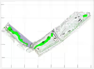 CloudMapper did the post-processing work for a client who
conducted a drone survey for a major Golf Club, covering specific
areas of interest: holes 6, 7, 8, 15, 16, 17, and 18, with a total
survey area of 136.65 acres. The following deliverables were
submitted to the client within 5 working days after data was
captured using the Wingtra Drone.
CloudMapper did the post-processing work for a client who
conducted a drone survey for a major Golf Club, covering specific
areas of interest: holes 6, 7, 8, 15, 16, 17, and 18, with a total
survey area of 136.65 acres. The following deliverables were
submitted to the client within 5 working days after data was
captured using the Wingtra Drone.
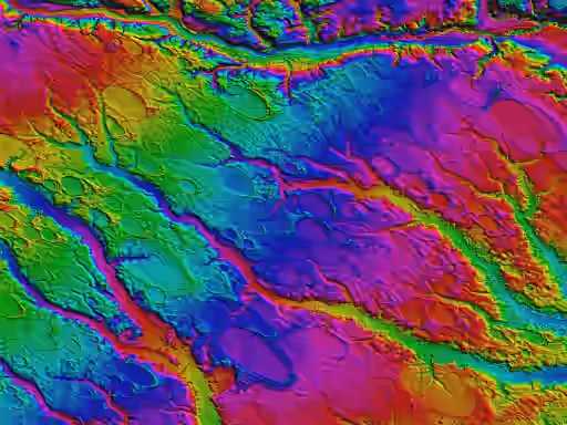
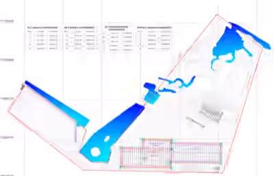 We provided our services to our client who did a comprehensive
survey of a 405,374 sqm (40.54 ha) marine construction site to
provide critical data for effective project planning and
execution. We provided topographical mapping, assessment of the
outfall alignment and sediment conditions, silt basin analysis,
and precise volume calculations for excavation and material
management.
We provided our services to our client who did a comprehensive
survey of a 405,374 sqm (40.54 ha) marine construction site to
provide critical data for effective project planning and
execution. We provided topographical mapping, assessment of the
outfall alignment and sediment conditions, silt basin analysis,
and precise volume calculations for excavation and material
management.
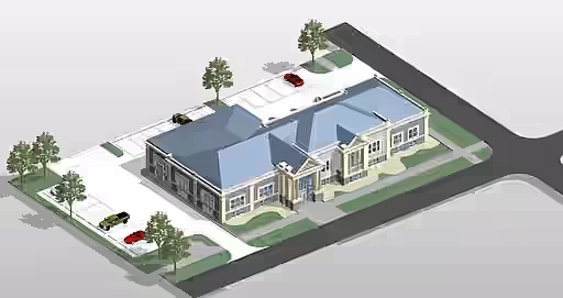
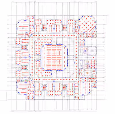 We provided drafting services to our client who conducted an
As-Built CAD Survey and Site & Topographical Survey for an
existing school. The objective was to capture accurate
architectural, structural, mechanical, and electrical details to
support design, renovation, and facility management.
We provided drafting services to our client who conducted an
As-Built CAD Survey and Site & Topographical Survey for an
existing school. The objective was to capture accurate
architectural, structural, mechanical, and electrical details to
support design, renovation, and facility management.